


I am committed to widening environmental engagement and horizons through playful, informative, and impactful artworks.
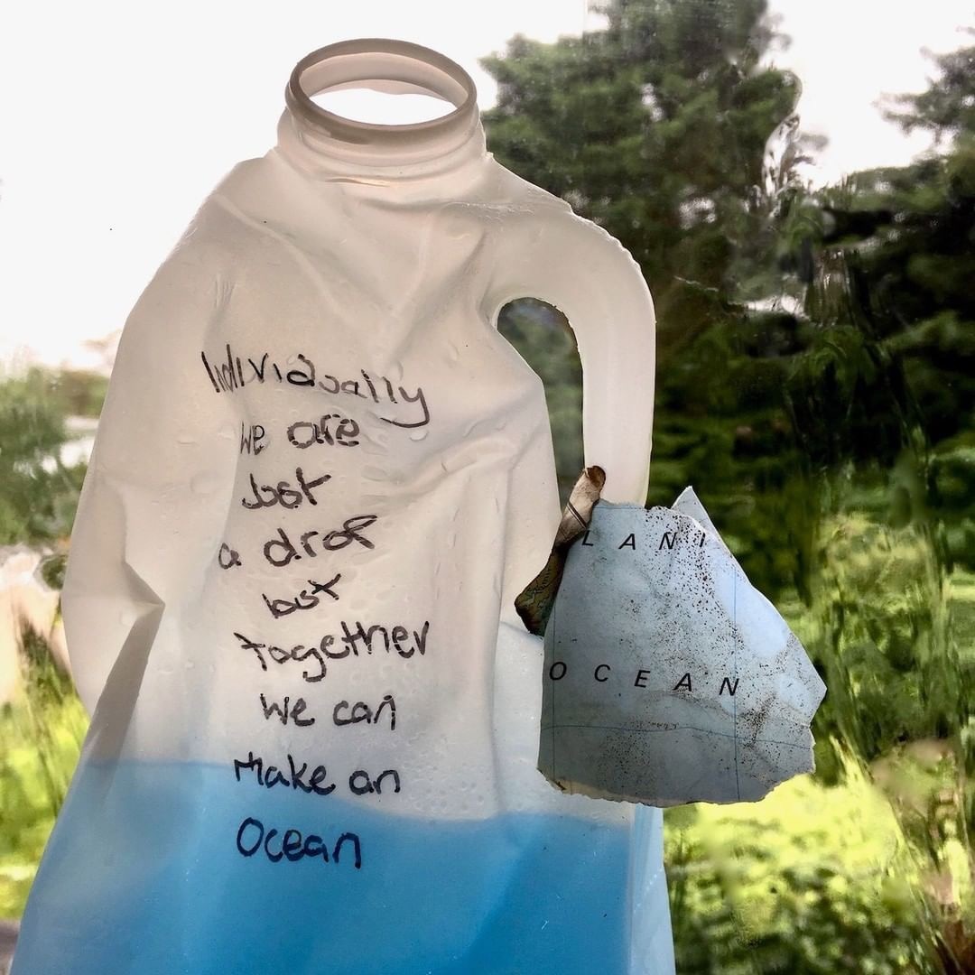
1-5. Planet vs Plastics
Community Art Installation for Earth Day, April 2024
6-8. Plastics Protest March
Participatory installation for the GREAT BIG GREEN WEEK June 2024
'There are many ways to get involved in building community resilience. Every action you take makes a difference one way or the other and if you give some thought to it, you can find actions big and small that will work for you, given your interests, skills, and opportunities. These may be at the personal level, the neighbourhood level, the community level, or in the national arena'.
~Richard Heinberg
Join The List
Want to hear from us occasionally? Subscribe to our newsletter